These last couple of weeks have gone by very fast. My research has been wrapping up. I have finished the data analysis on the results of the seal counts and am now working on putting together the paper. There will be two research papers as a result of my research. The first on is about…
Read more
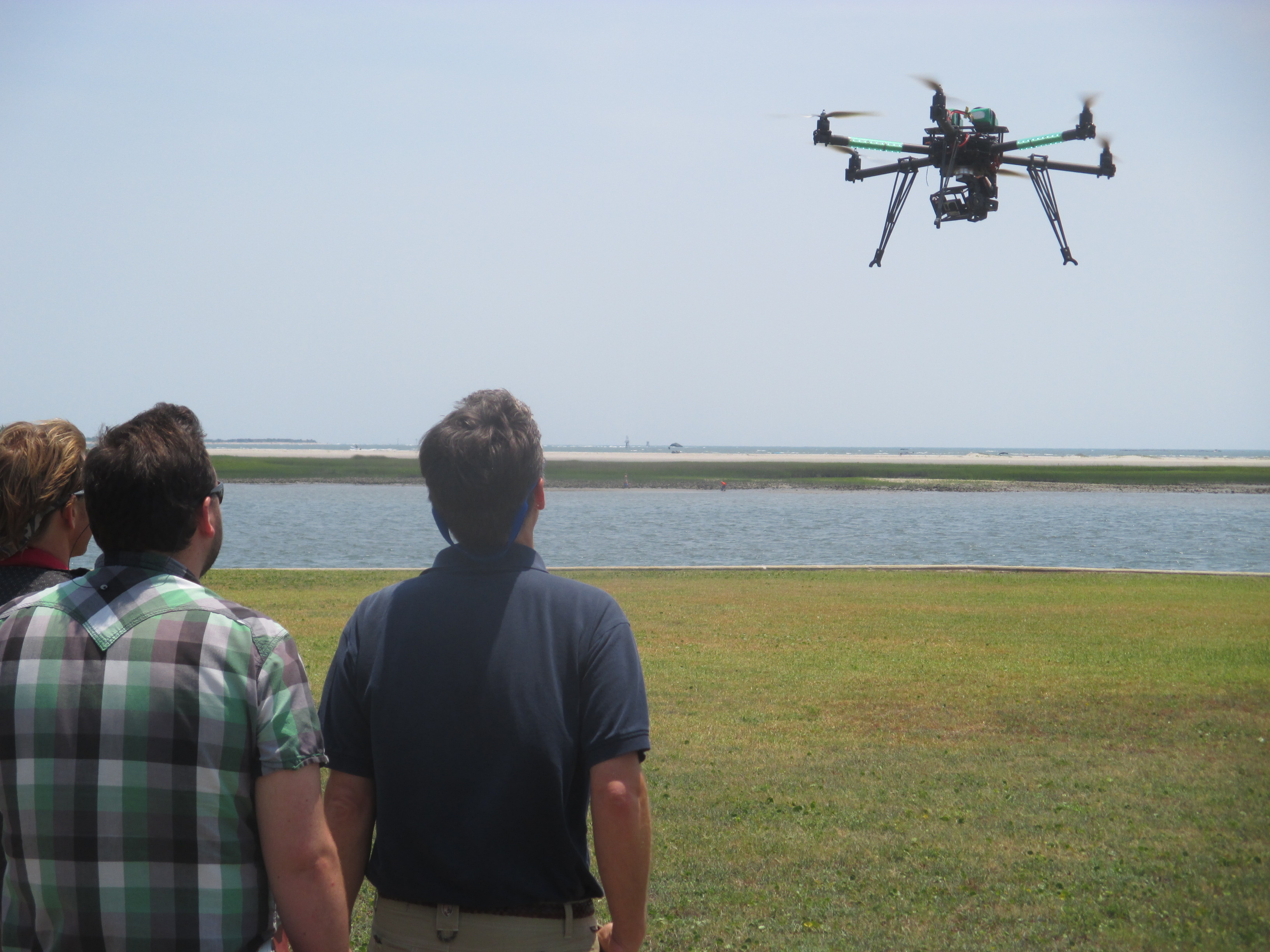
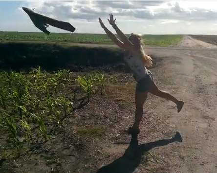
The last couple of days I had the opportunity to attend a workshop to gauge the interest, questions, concerns and ideas about building a small UAS facility here at Duke. There were representatives from government agencies both federal and state, academia, and commerce. The use of unmanned aerial systems (UAS) has exploded over the last…
Read more
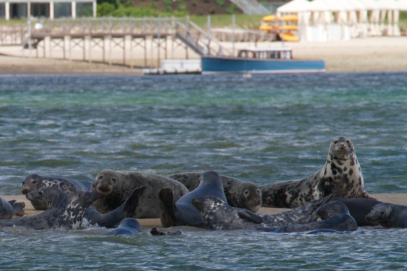
Grey seals (Halichoerus grypus) are found on both shores of the North Atlantic. They feed a variety of fish, mostly benthic or demersal species. During the winter months, female grey seals in Nova Scotia haul out on beaches such as Hay and Saddle Islands to start pupping. Females usually give birth about a day after coming…
Read more

Quite a week on the water in Chatham, MA on Cape Cod! To list some of the accomplishments: the first live-captures (on our first attempt no less) of gray seals in the US; coordinated deployments of multiple GPS tags on adult US gray seals; a massive sampling effort to collect data for both field participants…
Read more

Our tagged gray seal—Bronx—has been busy in the inshore and offshore waters around Cape Cod these past six months as he continues to carry our GPS tag that pings back location, dive, behavior, and oceanographic data. Over the 155 days (just over 5 months and counting) of successful relocation and data transmission, the mobile-enabled GPS…
Read more

We’ve been tracking Bronx – our Cape Cod iSeal – for about 37 days and we are starting to learn a little about this seals habits. This in turn, helps us understand a bit about his preferred habitats. Bronx is splitting time between foraging trips at two haulout locations (red circles on image below) –…
Read more

On September 15, 2012, a grey seal – named Bronx – was released from West Dennis Beach on Cape Cod with a tag on it’s back. After about 10 days cruising along the shores of Cape Cod, the seal hauled out between Chatham and Monomoy and delivered the first bundles of information about it’s movements…
Read more
I’ve just returned from a quick trip to Provincetown, MA where I attended a seal/fishery interaction meeting hosted by the Provincetown Center for Coastal Studies. The meeting, sponsored by the WHOI Marine Mammal Center, brought together an diverse array of stakeholders interested in the growing gray seal populations in the Cape Cod region and elsewhere…
Read more
